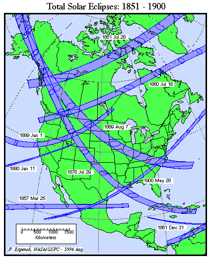
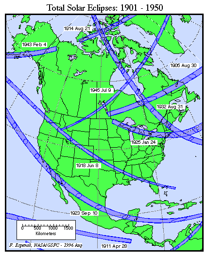
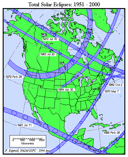
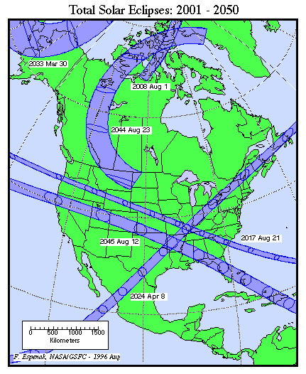
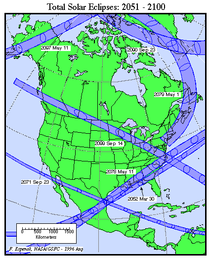
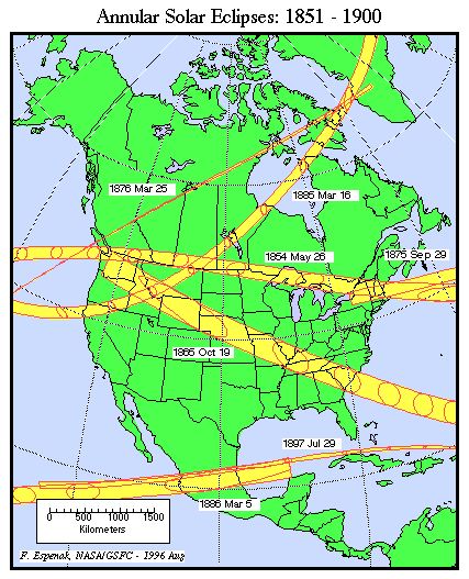
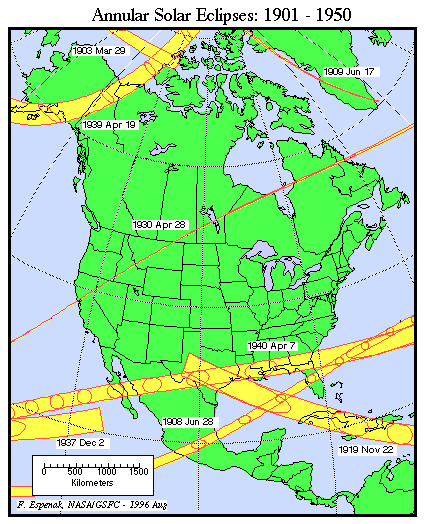
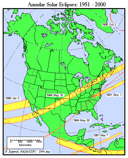
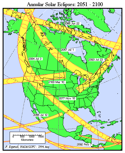
The following maps show the path of every total or annular solar eclipse visible from North America during the 19th, 20th and 21st centuries. The maps are broken down into 50 year periods and are organized by eclipse type (total or annular). Each map is stored as a gif of 82 to 86 kilobytes.
These maps can be printed on standard size (8.5" x 11") paper. First change your printer for "landscape" mode and set the scale to 50% reproduction. If some clipping occurs, try a smaller scale setting (e.g. - 45% or 40%). The maps are broken down into 20 year periods and are organized by eclipse type (total or annular). Each map is stored as a GIF of about 180 kilobytes.
All eclipse calculations are by Fred Espenak, and he assumes full responsibility for their accuracy. For information on reproducting eclipse data, see NASA Copyright Information.
Permission is freely granted to reproduce this data when accompanied by an acknowledgment:
"Eclipse Predictions by Fred Espenak, NASA's GSFC"
