The following table delineates the path of the Moon's umbral shadow during the Total Solar Eclipse of 1939 Oct 12 . The geographic coordinates (WGS 84) of the northern and southern limits and the central line are listed at 60-second intervals. This provides adequate detail for making plots of the path on larger scale maps. Local circumstances on the central line include the ratio of the apparent diameters of the Moon to the Sun, the Sun's altitude and azimuth (degrees), the path width (kilometers) and the duration on the central line (minutes and seconds).
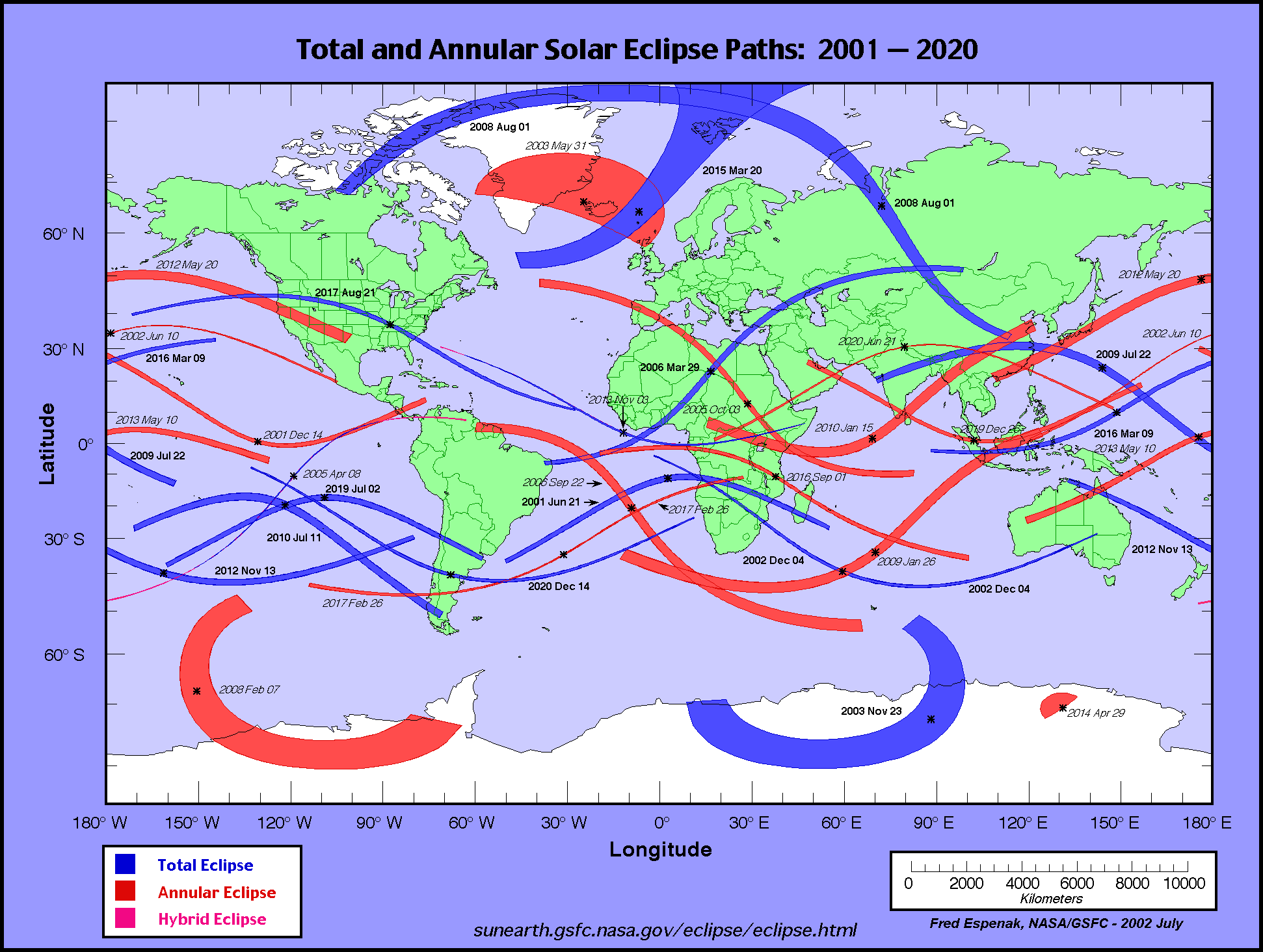
The global visibility of the eclipse is shown on an Orthographic Map . The features of this map are described in the Key to Solar Eclipse Path Tables. The path of the eclipse is displayed in greater detail on a Google Map .
                                                                      M:S                 Central
Universal  Northern Limit      Southern Limit       Central Line     Diam.  Sun Sun Path   Line
         ------------------  ------------------  ------------------  Ratio  Alt Azm Width Durat.
  Time   Latitude Longitude  Latitude Longitude  Latitude Longitude
          °   ´     °   ´      °   ´     °   ´      °   ´     °   ´            °   °   km

 Limits  58 30.3S 130 59.3E  61 41.2S 127 49.3E  59 59.7S 129 33.0E  1.023   0   -  381  01m12.9s
 20:18   61 23.5S 144 02.4E     -         -      61 03.3S 135 29.3E  1.024   3  99  409  01m17.6s
 20:19   61 56.4S 145 34.2E     -         -      61 48.3S 138 23.1E  1.024   5  97  421  01m20.1s
 20:20   62 28.1S 146 54.6E     -         -      62 26.8S 140 26.3E  1.025   6  94  429  01m21.9s

 20:21   62 58.8S 148 06.7E  62 33.2S 132 26.3E  63 02.2S 142 05.4E  1.025   7  93  435  01m23.4s
 20:22   63 29.0S 149 12.4E  63 21.2S 135 25.0E  63 36.0S 143 29.6E  1.025   8  91  438  01m24.6s
 20:23   63 58.6S 150 13.0E  64 01.4S 137 25.8E  64 08.5S 144 43.4E  1.025   8  90  441  01m25.7s
 20:24   64 27.9S 151 09.2E  64 38.4S 139 00.7E  64 40.2S 145 49.4E  1.026   9  88  442  01m26.6s
 20:25   64 57.0S 152 01.7E  65 13.5S 140 16.0E  65 11.4S 146 49.1E  1.026   9  87  443  01m27.4s
 20:26   65 25.9S 152 51.1E  65 47.4S 141 28.1E  65 42.1S 147 43.7E  1.026  10  86  443  01m28.2s
 20:27   65 54.6S 153 37.6E  66 20.5S 142 27.7E  66 12.6S 148 34.0E  1.026  10  85  442  01m28.8s
 20:28   66 23.3S 154 21.7E  66 52.9S 143 20.7E  66 42.8S 149 20.5E  1.026  11  84  441  01m29.4s
 20:29   66 52.0S 155 03.5E  67 25.0S 144 08.1E  67 12.9S 150 03.6E  1.026  11  83  440  01m30.0s
 20:30   67 20.6S 155 43.3E  67 56.7S 144 50.6E  67 42.9S 150 43.7E  1.026  11  82  439  01m30.4s

 20:31   67 49.4S 156 21.1E  68 28.3S 145 28.7E  68 12.9S 151 21.0E  1.026  11  81  437  01m30.9s
 20:32   68 18.1S 156 57.1E  68 59.7S 146 02.9E  68 42.9S 151 55.7E  1.026  12  80  435  01m31.2s
 20:33   68 47.1S 157 31.5E  69 31.1S 146 33.3E  69 12.9S 152 27.9E  1.026  12  79  433  01m31.5s
 20:34   69 16.1S 158 04.2E  70 02.4S 147 00.0E  69 43.1S 152 57.7E  1.026  12  79  431  01m31.8s
 20:35   69 45.3S 158 35.3E  70 33.9S 147 23.2E  70 13.3S 153 25.2E  1.027  12  78  429  01m32.0s
 20:36   70 14.7S 159 04.8E  71 05.4S 147 42.9E  70 43.8S 153 50.2E  1.027  12  77  427  01m32.2s
 20:37   70 44.3S 159 32.8E  71 37.0S 147 58.9E  71 14.4S 154 12.9E  1.027  12  76  424  01m32.3s
 20:38   71 14.2S 159 59.3E  72 08.7S 148 11.3E  71 45.2S 154 33.2E  1.027  12  76  422  01m32.4s
 20:39   71 44.3S 160 24.1E  72 40.7S 148 19.6E  72 16.3S 154 50.9E  1.027  12  75  420  01m32.4s
 20:40   72 14.7S 160 47.2E  73 12.9S 148 23.8E  72 47.7S 155 05.8E  1.027  12  74  418  01m32.4s

 20:41   72 45.5S 161 08.6E  73 45.3S 148 23.3E  73 19.4S 155 17.9E  1.027  12  74  415  01m32.4s
 20:42   73 16.6S 161 28.0E  74 18.0S 148 17.8E  73 51.5S 155 26.8E  1.027  12  73  413  01m32.3s
 20:43   73 48.1S 161 45.5E  74 50.9S 148 06.5E  74 23.9S 155 32.1E  1.027  12  73  411  01m32.1s
 20:44   74 20.0S 162 00.7E  75 24.2S 147 48.8E  74 56.7S 155 33.6E  1.026  12  73  409  01m32.0s
 20:45   74 52.4S 162 13.4E  75 57.8S 147 23.7E  75 29.9S 155 30.5E  1.026  12  72  407  01m31.7s
 20:46   75 25.3S 162 23.2E  76 31.6S 146 50.0E  76 03.6S 155 22.3E  1.026  12  72  405  01m31.5s
 20:47   75 58.7S 162 29.9E  77 05.8S 146 06.1E  76 37.8S 155 08.2E  1.026  12  72  403  01m31.1s
 20:48   76 32.7S 162 32.7E  77 40.2S 145 09.9E  77 12.5S 154 47.0E  1.026  12  72  401  01m30.8s
 20:49   77 07.3S 162 31.1E  78 14.8S 143 59.1E  77 47.7S 154 17.3E  1.026  11  72  400  01m30.4s
 20:50   77 42.6S 162 24.2E  78 49.5S 142 30.1E  78 23.5S 153 37.3E  1.026  11  72  398  01m29.9s

 20:51   78 18.6S 162 10.8E  79 24.1S 140 38.6E  78 59.8S 152 44.6E  1.026  11  73  396  01m29.4s
 20:52   78 55.4S 161 49.4E  79 58.3S 138 18.9E  79 36.7S 151 36.0E  1.026  10  74  395  01m28.8s
 20:53   79 33.0S 161 18.1E  80 31.8S 135 23.5E  80 14.0S 150 07.2E  1.026  10  75  393  01m28.1s
 20:54   80 11.5S 160 33.9E  81 03.6S 131 38.6E  80 51.7S 148 12.2E  1.026  10  76  392  01m27.4s
 20:55   80 50.8S 159 33.0E  81 32.7S 126 55.6E  81 29.4S 145 42.4E  1.025   9  78  391  01m26.5s
 20:56   81 31.1S 158 09.7E  81 57.0S 120 53.5E  82 06.8S 142 26.0E  1.025   9  81  390  01m25.6s
 20:57   82 12.3S 156 15.7E  82 12.4S 113 07.5E  82 43.1S 138 05.8E  1.025   8  85  389  01m24.6s
 20:58   82 54.1S 153 38.5E  82 11.1S 103 04.9E  83 16.7S 132 19.9E  1.025   7  91  388  01m23.4s
 20:59   83 36.1S 149 58.2E  81 22.8S 088 56.8E  83 45.0S 124 29.3E  1.025   6  98  387  01m22.1s
 21:00   84 17.5S 144 43.2E     -         -      84 02.8S 114 03.7E  1.024   5 108  387  01m20.5s


                                                                      M:S                 Central
Universal  Northern Limit      Southern Limit       Central Line     Diam.  Sun Sun Path   Line
         ------------------  ------------------  ------------------  Ratio  Alt Azm Width Durat.
  Time   Latitude Longitude  Latitude Longitude  Latitude Longitude
          °   ´     °   ´      °   ´     °   ´      °   ´     °   ´            °   °   km

 21:01   84 56.2S 137 04.0E     -         -      83 59.7S 100 32.6E  1.024   4 121  386  01m18.4s
 21:02   85 27.6S 125 44.9E     -         -      83 06.3S 083 23.6E  1.023   2 138  385  01m15.3s

 Limits  82 08.3S 062 17.0E  80 27.0S 082 15.5E  81 27.6S 072 30.5E  1.023   0   -  382  01m12.1s
Predictions for the Total Solar Eclipse of 1939 Oct 12 were generated using the VSOP87/ELP2000-82 solar and lunar ephemerides and a value of ΔT = 24.3 seconds. The accuracy of the northern and southern edges of the eclipse path are limited to approximately 1-2 kilometers due to the lunar limb profile.
All eclipse calculations are by Fred Espenak, and he assumes full responsibility for their accuracy. Permission is freely granted to reproduce this data when accompanied by an acknowledgment:
"Eclipse Predictions by Fred Espenak, NASA's GSFC"
For more information, see: NASA Copyright Information
