The following table delineates the path of the Moon's umbral shadow during the Total Solar Eclipse of 2044 Aug 23. The geographic coordinates (WGS 84) of the northern and southern limits and the central line are listed at 120-second intervals. This provides adequate detail for making plots of the path on larger scale maps. Local circumstances on the central line include the ratio of the apparent diameters of the Moon to the Sun, the Sun's altitude and azimuth (degrees), the path width (kilometers) and the duration on the central line (minutes and seconds).
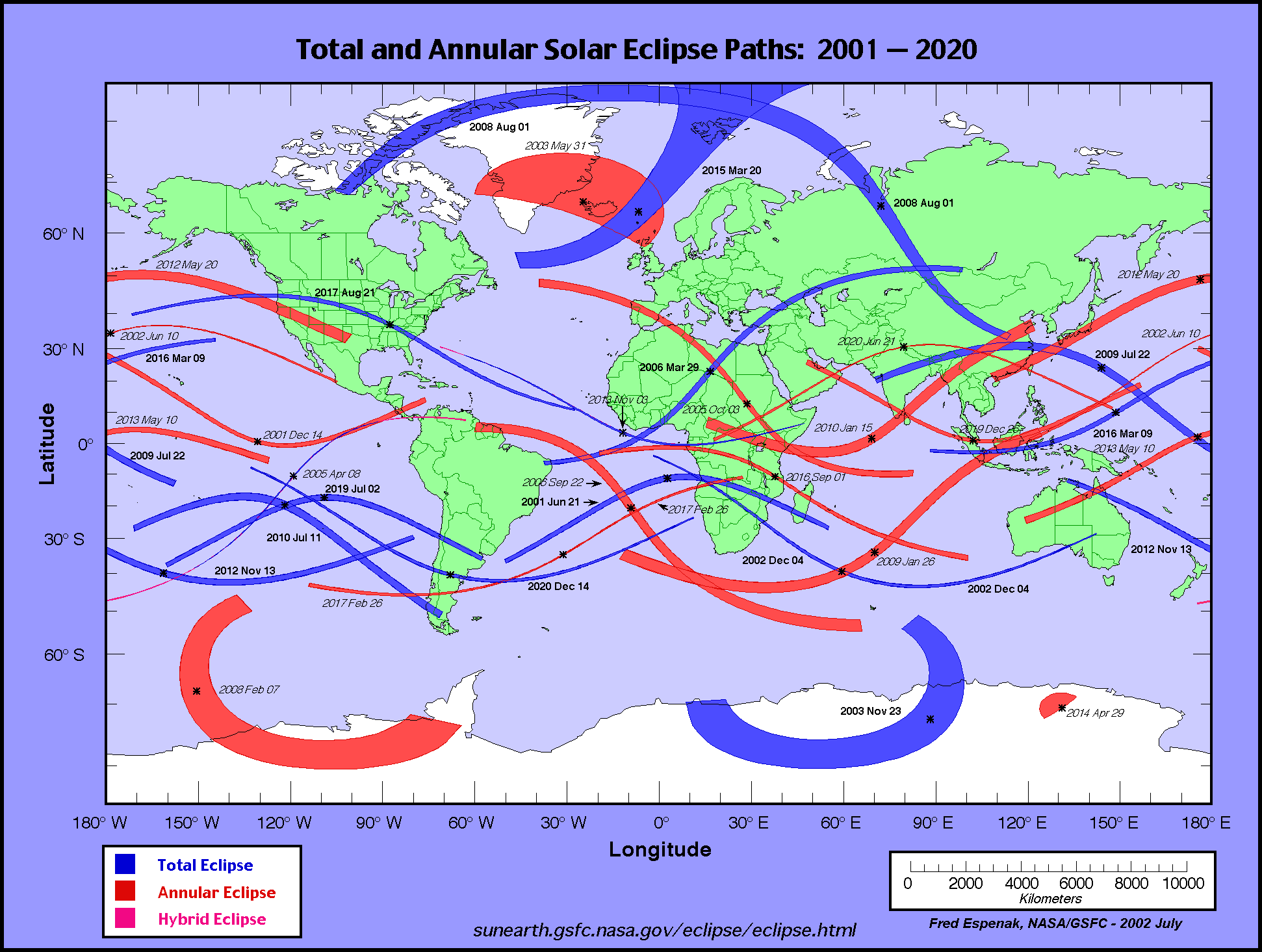
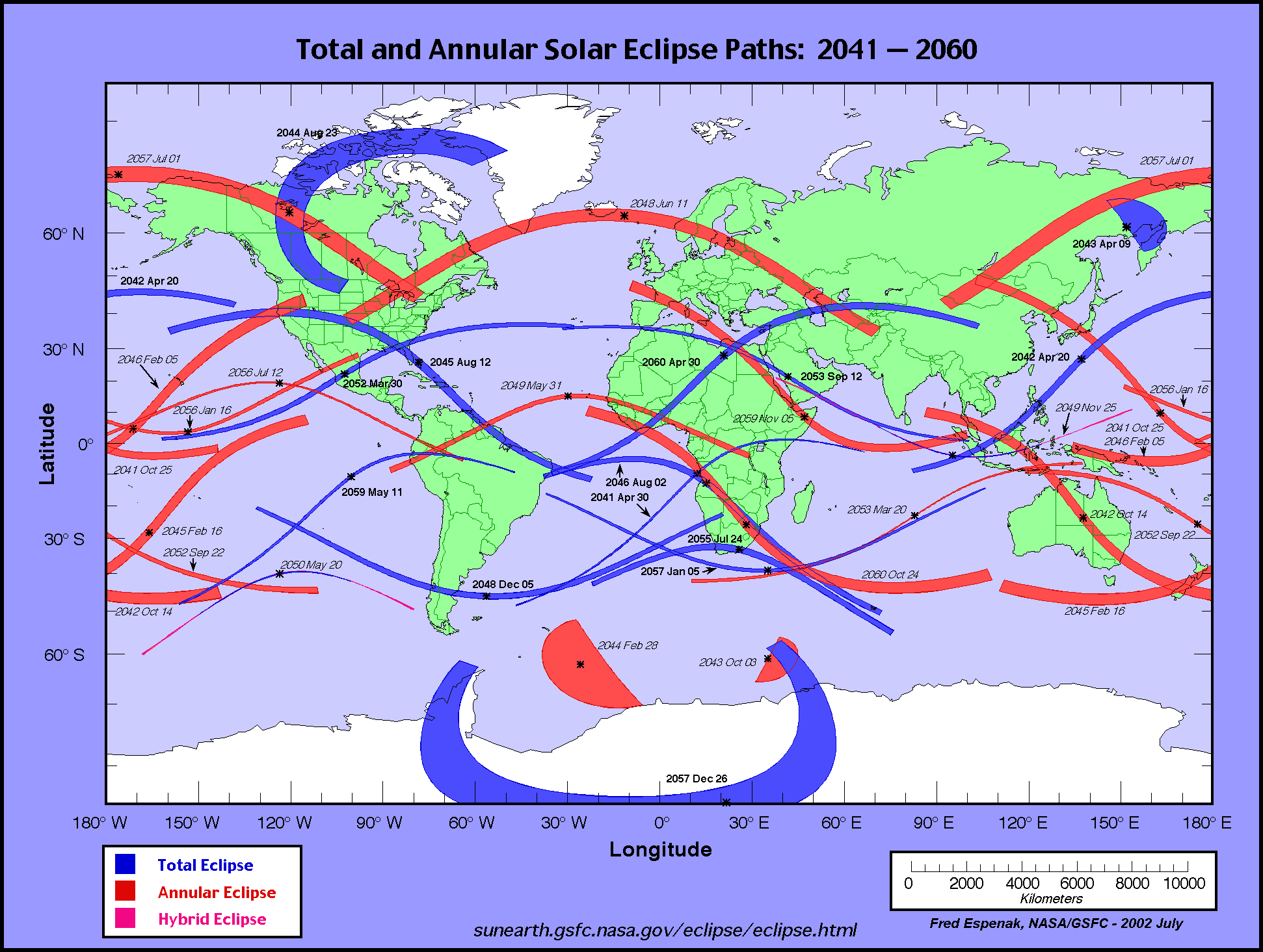
The global visibility of the eclipse is shown on an Orthographic Map . The features of this map are described in the Key to Solar Eclipse Path Tables. The path of the eclipse is displayed in greater detail on an Google Map .
                                                                      M:S                 Central
Universal  Northern Limit      Southern Limit       Central Line     Diam.  Sun Sun Path   Line
         ------------------  ------------------  ------------------  Ratio  Alt Azm Width Durat.
  Time   Latitude Longitude  Latitude Longitude  Latitude Longitude
          °   ´     °   ´      °   ´     °   ´      °   ´     °   ´            °   °   km

 Limits  73 04.5N 061 14.2W  75 34.4N 049 43.9W  74 27.0N 055 32.2W  1.032   0   -  443  01m38.0s
 00:48      -         -      78 50.0N 084 23.2W  75 47.0N 061 45.7W  1.032   2 311  440  01m41.2s
 00:50      -         -      78 15.8N 095 18.0W  77 02.9N 078 47.5W  1.034   6 295  432  01m47.7s
 00:52   74 39.2N 071 23.7W  77 21.0N 103 08.6W  76 46.2N 089 34.9W  1.034   8 285  429  01m51.3s
 00:54   74 59.4N 083 20.3W  76 16.9N 108 49.6W  76 02.3N 097 24.0W  1.035  10 278  427  01m53.9s
 00:56   74 30.9N 091 25.5W  75 08.6N 113 01.0W  75 05.9N 103 12.0W  1.035  11 273  426  01m56.0s
 00:58   73 44.2N 097 24.5W  73 58.7N 116 09.0W  74 03.3N 107 33.2W  1.035  12 270  426  01m57.8s
 01:00   72 48.3N 101 57.0W  72 48.4N 118 31.4W  72 57.7N 110 52.5W  1.036  13 267  427  01m59.2s

 01:02   71 47.7N 105 27.4W  71 38.5N 120 20.1W  71 50.7N 113 25.9W  1.036  13 265  428  02m00.4s
 01:04   70 44.4N 108 10.5W  70 29.3N 121 43.3W  70 43.2N 115 24.6W  1.036  14 264  431  02m01.4s
 01:06   69 39.8N 110 18.2W  69 20.9N 122 46.7W  69 35.9N 116 56.7W  1.036  14 264  433  02m02.3s
 01:08   68 34.5N 111 58.0W  68 13.4N 123 34.4W  68 28.9N 118 07.8W  1.036  15 263  437  02m02.9s
 01:10   67 29.0N 113 15.5W  67 06.7N 124 09.3W  67 22.4N 119 01.9W  1.036  15 263  440  02m03.3s
 01:12   66 23.6N 114 14.8W  66 00.9N 124 33.6W  66 16.4N 119 42.1W  1.036  15 263  444  02m03.7s
 01:14   65 18.2N 114 58.9W  64 55.9N 124 49.0W  65 10.9N 120 10.6W  1.036  15 264  449  02m03.8s
 01:16   64 12.9N 115 29.9W  63 51.5N 124 56.5W  64 05.9N 120 28.9W  1.036  15 264  454  02m03.8s
 01:18   63 07.8N 115 49.4W  62 47.7N 124 57.0W  63 01.4N 120 38.3W  1.036  15 265  459  02m03.7s
 01:20   62 02.8N 115 58.6W  61 44.4N 124 51.2W  61 57.2N 120 39.6W  1.036  15 265  465  02m03.4s

 01:22   60 57.7N 115 58.1W  60 41.6N 124 39.4W  60 53.2N 120 33.4W  1.036  15 266  471  02m03.0s
 01:24   59 52.5N 115 48.3W  59 38.9N 124 21.9W  59 49.3N 120 19.9W  1.036  15 267  477  02m02.4s
 01:26   58 46.9N 115 29.2W  58 36.5N 123 58.8W  58 45.4N 119 59.2W  1.036  14 268  483  02m01.6s
 01:28   57 40.7N 115 00.2W  57 34.0N 123 29.8W  57 41.3N 119 31.1W  1.036  14 269  489  02m00.7s
 01:30   56 33.5N 114 20.4W  56 31.4N 122 54.8W  56 36.8N 118 55.2W  1.036  13 270  494  01m59.6s
 01:32   55 24.8N 113 27.9W  55 28.5N 122 13.1W  55 31.5N 118 10.4W  1.035  13 272  499  01m58.2s
 01:34   54 13.8N 112 18.9W  54 24.9N 121 23.9W  54 25.1N 117 15.3W  1.035  12 273  503  01m56.7s
 01:36   52 58.9N 110 47.5W  53 20.4N 120 26.0W  53 16.9N 116 07.5W  1.035  11 275  504  01m54.8s
 01:38   51 36.7N 108 36.4W  52 14.4N 119 17.2W  52 06.1N 114 42.4W  1.034   9 276  502  01m52.5s
 01:40   49 51.3N 104 30.9W  51 06.3N 117 54.0W  50 50.6N 112 51.2W  1.034   8 278  496  01m49.7s

 01:42      -         -      49 54.6N 116 10.4W  49 25.5N 110 09.8W  1.033   6 281  481  01m45.9s

 Limits  48 57.6N 101 14.9W  45 29.8N 104 23.9W  47 07.8N 102 56.5W  1.032   0   -  431  01m37.1s
   Instant of
Greatest Eclipse:       Time =  01:15:33.6 UT       Lat = 64°20.2'N      Long = 120°25.7'W
      (GE)               Sun Altitude =  15.4°          Path Width = 453.0 km
                          Sun Azimuth = 263.9°    Central Duration =   02m03.8s


   Instant of
Greatest Duration:      Time =    01:15:08 UT       Lat =   64°34'N      Long =   120°22'W
      (GD)               Sun Altitude =  15.4°          Path Width = 451.9 km
                          Sun Azimuth = 263.8°    Central Duration =   02m03.8s
Predictions for the Total Solar Eclipse of 2044 Aug 23 were generated using the VSOP87/ELP2000-85 solar and lunar ephemerides and a value of ΔT = 87.5 seconds.
The eclipse predictions presented here DO NOT include the effects of mountains and valleys along the edge of the Moon. Such corrections for the lunar limb profile may shift the limits of the eclipse path north or south by ~1-3 kilometers, and change the eclipse duration by ~1-3 seconds. More detailed predictions including the effects of the lunar limb profile are normally posted 12-18 months before each eclipse,
All eclipse calculations are by Fred Espenak, and he assumes full responsibility for their accuracy. Permission is freely granted to reproduce this data when accompanied by an acknowledgment:
"Eclipse Predictions by Fred Espenak, NASA's GSFC"
For more information, see: NASA Copyright Information
