The following table delineates the path of the Moon's antumbral shadow during the Annular Solar Eclipse of 2021 Jun 10. The geographic coordinates (WGS 84) of the northern and southern limits and the central line are listed at 120-second intervals. This provides adequate detail for making plots of the path on larger scale maps. Local circumstances on the central line include the ratio of the apparent diameters of the Moon to the Sun, the Sun's altitude and azimuth (degrees), the path width (kilometers) and the duration on the central line (minutes and seconds).
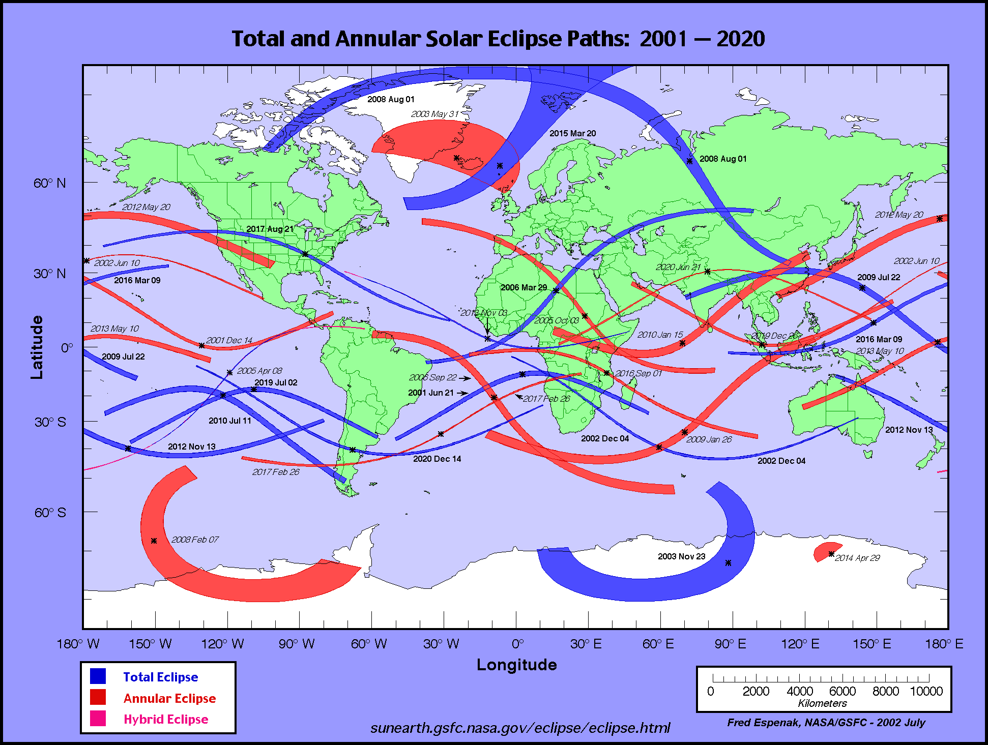
The global visibility of the eclipse is shown on an Orthographic Map . The features of this map are described in the Key to Solar Eclipse Path Tables. The path of the eclipse is displayed in greater detail on an Google Map .
                                                                      M:S                 Central
Universal  Northern Limit      Southern Limit       Central Line     Diam.  Sun Sun Path   Line
         ------------------  ------------------  ------------------  Ratio  Alt Azm Width Durat.
  Time   Latitude Longitude  Latitude Longitude  Latitude Longitude
          °   ´     °   ´      °   ´     °   ´      °   ´     °   ´            °   °   km

 Limits  52 20.5N 093 40.3W  48 10.2N 086 01.9W  50 10.3N 089 31.8W  0.938   0   -  692  03m36.8s
 09:56      -         -      56 16.1N 073 33.6W  53 17.3N 083 59.8W  0.939   5  57  688  03m39.3s
 09:58      -         -      57 47.1N 071 48.8W  55 47.6N 080 24.4W  0.940   8  60  677  03m41.2s
 10:00      -         -      59 10.1N 070 19.6W  57 39.2N 078 06.7W  0.940  10  63  665  03m42.5s

 10:02   56 22.5N 086 54.6W  60 27.5N 069 01.2W  59 14.8N 076 21.3W  0.941  12  65  653  03m43.6s
 10:04   58 35.9N 084 05.4W  61 40.9N 067 50.8W  60 41.2N 074 54.7W  0.941  14  67  641  03m44.5s
 10:06   60 21.5N 082 12.1W  62 51.0N 066 46.7W  62 01.3N 073 41.1W  0.941  15  69  630  03m45.3s
 10:08   61 54.0N 080 46.1W  63 58.6N 065 47.4W  63 16.8N 072 37.0W  0.942  16  70  620  03m46.0s
 10:10   63 18.5N 079 37.6W  65 04.2N 064 52.0W  64 29.0N 071 40.4W  0.942  17  72  610  03m46.7s
 10:12   64 37.4N 078 41.6W  66 08.0N 063 59.9W  65 38.4N 070 49.8W  0.942  18  73  601  03m47.2s
 10:14   65 52.3N 077 55.7W  67 10.4N 063 10.6W  66 45.7N 070 04.4W  0.942  19  75  592  03m47.8s
 10:16   67 04.0N 077 18.2W  68 11.6N 062 23.2W  67 51.2N 069 23.6W  0.942  19  76  584  03m48.3s
 10:18   68 13.3N 076 48.1W  69 11.8N 061 37.7W  68 55.2N 068 46.7W  0.943  20  78  577  03m48.7s
 10:20   69 20.6N 076 25.0W  70 11.1N 060 53.7W  69 58.1N 068 13.6W  0.943  21  79  570  03m49.1s

 10:22   70 26.2N 076 08.5W  71 09.7N 060 10.8W  70 59.9N 067 43.9W  0.943  21  80  563  03m49.5s
 10:24   71 30.4N 075 58.7W  72 07.7N 059 28.8W  72 00.9N 067 17.8W  0.943  21  81  557  03m49.8s
 10:26   72 33.5N 075 55.9W  73 05.2N 058 47.4W  73 01.2N 066 54.7W  0.943  22  83  552  03m50.1s
 10:28   73 35.5N 076 00.5W  74 02.3N 058 06.3W  74 00.9N 066 35.8W  0.943  22  84  547  03m50.3s
 10:30   74 36.7N 076 13.4W  74 59.0N 057 25.2W  75 00.1N 066 20.4W  0.943  23  85  543  03m50.6s
 10:32   75 37.1N 076 35.8W  75 55.5N 056 44.0W  75 59.0N 066 09.2W  0.943  23  86  539  03m50.7s
 10:34   76 36.9N 077 09.0W  76 51.9N 056 02.0W  76 57.6N 066 02.6W  0.943  23  87  536  03m50.9s
 10:36   77 35.9N 077 55.5W  77 48.1N 055 19.1W  77 56.0N 066 01.8W  0.943  23  88  533  03m51.0s
 10:38   78 34.3N 078 58.0W  78 44.4N 054 34.7W  78 54.3N 066 07.7W  0.943  23  89  530  03m51.1s
 10:40   79 31.9N 080 20.7W  79 40.6N 053 48.1W  79 52.5N 066 22.1W  0.943  23  89  528  03m51.1s

 10:42   80 28.6N 082 09.3W  80 37.0N 052 58.6W  80 50.6N 066 47.8W  0.943  23  90  527  03m51.2s
 10:44   81 24.2N 084 31.9W  81 33.5N 052 04.8W  81 48.8N 067 28.2W  0.943  23  90  526  03m51.1s
 10:46   82 18.3N 087 39.9W  82 30.2N 051 05.2W  82 46.9N 068 29.7W  0.943  23  90  525  03m51.1s
 10:48   83 10.1N 091 49.9W  83 27.2N 049 56.7W  83 45.0N 070 01.8W  0.943  23  89  525  03m51.0s
 10:50   83 58.6N 097 24.9W  84 24.5N 048 34.9W  84 42.7N 072 23.7W  0.943  23  88  525  03m50.9s
 10:52   84 41.8N 104 54.9W  85 22.2N 046 51.3W  85 39.9N 076 02.9W  0.943  23  85  526  03m50.7s
 10:54   85 16.9N 114 51.5W  86 20.2N 044 28.0W  86 35.3N 082 09.8W  0.943  22  80  527  03m50.5s
 10:56   85 40.0N 127 26.4W  87 18.4N 040 41.8W  87 26.5N 093 09.1W  0.943  22  70  528  03m50.3s
 10:58   85 46.7N 141 54.0W  88 16.3N 033 12.1W  88 06.2N 114 05.4W  0.943  22  50  530  03m50.1s
 11:00   85 34.9N 156 22.4W  89 09.7N 009 25.8W  88 17.9N 147 41.2W  0.943  21  17  533  03m49.7s

 11:02   85 05.4N 168 58.0W  89 18.3N 074 54.9E  87 51.9N 177 38.3W  0.943  21 348  536  03m49.4s
 11:04   84 21.5N 178 52.6W  88 26.3N 108 18.8E  87 02.5N 165 39.3E  0.943  20 332  540  03m49.0s
 11:06   83 26.5N 173 43.4E  87 24.8N 117 34.7E  86 02.5N 156 52.6E  0.943  20 324  545  03m48.6s
 11:08   82 22.6N 168 19.4E  86 20.3N 121 57.6E  84 56.8N 151 56.7E  0.943  19 320  550  03m48.1s
 11:10   81 11.0N 164 25.5E  85 13.7N 124 43.0E  83 46.8N 149 01.7E  0.942  18 318  556  03m47.6s
 11:12   79 52.0N 161 39.4E  84 04.9N 126 45.2E  82 33.0N 147 16.9E  0.942  18 317  562  03m47.0s
 11:14   78 24.8N 159 45.9E  82 53.8N 128 25.9E  81 15.3N 146 17.1E  0.942  17 317  570  03m46.4s
 11:16   76 47.8N 158 35.6E  81 39.9N 129 55.3E  79 52.9N 145 49.2E  0.942  16 317  579  03m45.6s
 11:18   74 57.2N 158 04.4E  80 22.8N 131 19.3E  78 25.1N 145 46.1E  0.941  15 318  588  03m44.9s
 11:20   72 45.0N 158 15.6E  79 01.8N 132 41.6E  76 50.0N 146 04.4E  0.941  13 319  600  03m44.0s

 11:22   69 45.1N 159 32.2E  77 36.0N 134 05.5E  75 05.3N 146 44.0E  0.941  12 320  613  03m43.0s
 11:24      -         -      76 03.9N 135 34.0E  73 05.9N 147 48.6E  0.940  10 322  628  03m41.8s
 11:26      -         -      74 23.4N 137 10.6E  70 40.7N 149 30.0E  0.940   8 324  647  03m40.3s
 11:28      -         -      72 30.6N 139 01.1E  67 05.3N 152 41.1E  0.939   4 328  673  03m38.0s

 Limits  64 46.9N 163 38.3E  62 18.7N 150 39.3E  63 34.4N 156 33.8E  0.938   0   -  693  03m35.9s
   Instant of
Greatest Eclipse:       Time =  10:41:56.4 UT       Lat = 80°48.9'N      Long = 066°46.8'W
      (GE)               Sun Altitude =  23.3°          Path Width = 526.8 km
                          Sun Azimuth =  89.9°    Central Duration =   03m51.2s


   Instant of
Greatest Duration:      Time =    10:41:58 UT       Lat =   80°49'N      Long =   066°47'W
      (GD)               Sun Altitude =  23.3°          Path Width = 526.8 km
                          Sun Azimuth =  89.9°    Central Duration =   03m51.2s
Predictions for the Annular Solar Eclipse of 2021 Jun 10 were generated using the VSOP87/ELP2000-85 solar and lunar ephemerides and a value of ΔT = 69.7 seconds.
The eclipse predictions presented here DO NOT include the effects of mountains and valleys along the edge of the Moon. Such corrections for the lunar limb profile may shift the limits of the eclipse path north or south by ~1-3 kilometers, and change the eclipse duration by ~1-3 seconds. More detailed predictions including the effects of the lunar limb profile are normally posted 12-18 months before each eclipse,
All eclipse calculations are by Fred Espenak, and he assumes full responsibility for their accuracy. Permission is freely granted to reproduce this data when accompanied by an acknowledgment:
"Eclipse Predictions by Fred Espenak, NASA's GSFC"
For more information, see: NASA Copyright Information
