The following table delineates the path of the Moon's antumbral shadow during the Annular Solar Eclipse of 2039 Jun 21. The geographic coordinates (WGS 84) of the northern and southern limits and the central line are listed at 120-second intervals. This provides adequate detail for making plots of the path on larger scale maps. Local circumstances on the central line include the ratio of the apparent diameters of the Moon to the Sun, the Sun's altitude and azimuth (degrees), the path width (kilometers) and the duration on the central line (minutes and seconds).
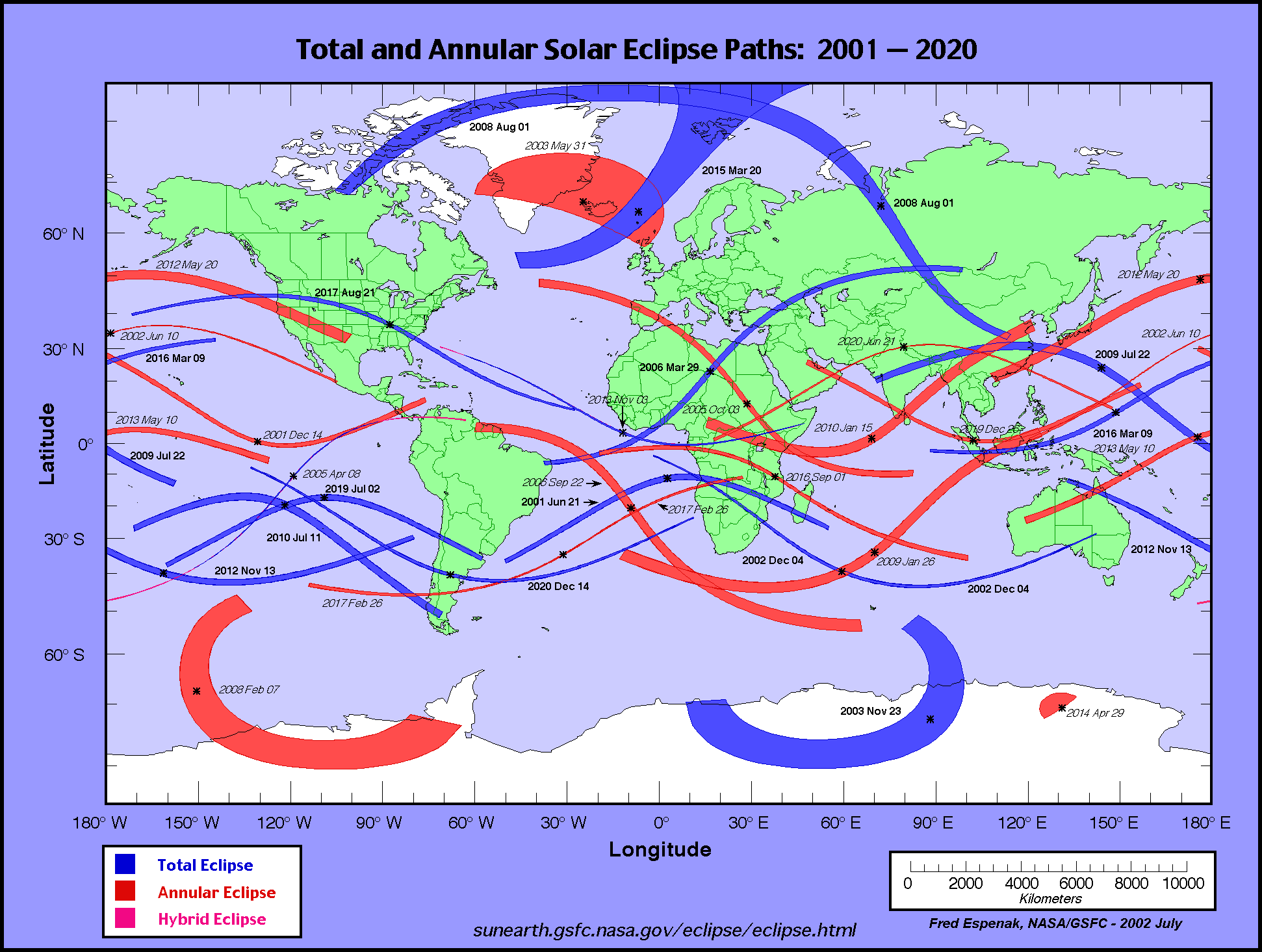
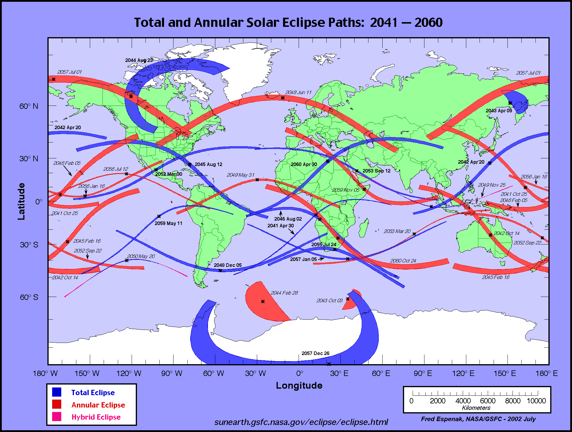
The global visibility of the eclipse is shown on an Orthographic Map . The features of this map are described in the Key to Solar Eclipse Path Tables. The path of the eclipse is displayed in greater detail on an Google Map .
                                                                      M:S                 Central
Universal  Northern Limit      Southern Limit       Central Line     Diam.  Sun Sun Path   Line
         ------------------  ------------------  ------------------  Ratio  Alt Azm Width Durat.
  Time   Latitude Longitude  Latitude Longitude  Latitude Longitude
          °   ´     °   ´      °   ´     °   ´      °   ´     °   ´            °   °   km

 Limits  47 00.6N 179 40.9W  43 52.9N 174 52.3W  45 24.9N 177 10.1W  0.937   0   -  497  03m40.7s
 16:08      -         -      51 41.3N 161 07.3W  49 55.2N 168 45.6W  0.939   7  62  486  03m45.1s
 16:10   48 41.8N 176 19.2W  53 14.0N 158 45.0W  52 06.8N 165 09.4W  0.940  11  65  477  03m47.2s
 16:12   52 08.9N 170 11.9W  54 36.6N 156 41.2W  53 50.4N 162 28.1W  0.940  13  68  469  03m48.8s
 16:14   54 12.7N 166 53.7W  55 52.2N 154 49.5W  55 20.0N 160 13.4W  0.941  15  71  461  03m50.2s
 16:16   55 53.2N 164 21.0W  57 02.7N 153 06.3W  56 40.8N 158 14.6W  0.941  17  73  454  03m51.5s
 16:18   57 21.3N 162 11.7W  58 09.0N 151 28.8W  57 55.3N 156 26.4W  0.942  18  75  448  03m52.6s
 16:20   58 41.4N 160 16.9W  59 12.1N 149 55.8W  59 05.1N 154 45.5W  0.942  20  77  441  03m53.6s

 16:22   59 55.6N 158 31.7W  60 12.5N 148 25.8W  60 11.2N 153 10.0W  0.942  21  79  435  03m54.6s
 16:24   61 05.5N 156 53.3W  61 10.4N 146 58.0W  61 14.3N 151 38.2W  0.943  22  82  430  03m55.5s
 16:26   62 11.8N 155 19.8W  62 06.4N 145 31.5W  62 14.8N 150 09.0W  0.943  23  84  424  03m56.3s
 16:28   63 15.3N 153 49.5W  63 00.6N 144 05.8W  63 13.1N 148 41.5W  0.943  24  86  419  03m57.1s
 16:30   64 16.4N 152 21.4W  63 53.1N 142 40.2W  64 09.5N 147 14.9W  0.943  25  88  414  03m57.8s
 16:32   65 15.5N 150 54.8W  64 44.2N 141 14.2W  65 04.2N 145 48.6W  0.944  26  90  410  03m58.5s
 16:34   66 12.7N 149 28.6W  65 34.0N 139 47.3W  65 57.4N 144 21.9W  0.944  27  92  405  03m59.2s
 16:36   67 08.4N 148 02.3W  66 22.5N 138 19.1W  66 49.2N 142 54.3W  0.944  28  95  401  03m59.8s
 16:38   68 02.6N 146 35.2W  67 09.8N 136 49.0W  67 39.8N 141 25.2W  0.944  28  97  398  04m00.4s
 16:40   68 55.6N 145 06.7W  67 56.0N 135 16.7W  68 29.2N 139 54.1W  0.944  29  99  394  04m00.9s

 16:42   69 47.4N 143 36.0W  68 41.1N 133 41.6W  69 17.4N 138 20.5W  0.944  29 102  391  04m01.4s
 16:44   70 38.0N 142 02.5W  69 25.1N 132 03.2W  70 04.6N 136 43.6W  0.945  30 104  388  04m01.9s
 16:46   71 27.7N 140 25.6W  70 08.1N 130 21.1W  70 50.8N 135 03.0W  0.945  31 107  385  04m02.3s
 16:48   72 16.3N 138 44.5W  70 50.1N 128 34.7W  71 35.9N 133 18.0W  0.945  31 110  382  04m02.7s
 16:50   73 03.9N 136 58.2W  71 31.0N 126 43.4W  72 20.0N 131 27.9W  0.945  31 112  380  04m03.1s
 16:52   73 50.5N 135 06.0W  72 10.8N 124 46.6W  73 03.0N 129 31.9W  0.945  32 115  378  04m03.4s
 16:54   74 36.2N 133 06.8W  72 49.5N 122 43.7W  73 45.0N 127 29.1W  0.945  32 118  375  04m03.7s
 16:56   75 20.8N 130 59.4W  73 27.1N 120 34.1W  74 25.9N 125 18.8W  0.945  32 121  374  04m04.0s
 16:58   76 04.3N 128 42.4W  74 03.4N 118 16.9W  75 05.5N 122 59.8W  0.945  33 125  372  04m04.2s
 17:00   76 46.7N 126 14.4W  74 38.3N 115 51.4W  75 43.9N 120 31.0W  0.945  33 128  370  04m04.4s

 17:02   77 27.8N 123 33.7W  75 11.8N 113 16.9W  76 20.9N 117 51.4W  0.945  33 132  369  04m04.6s
 17:04   78 07.5N 120 38.1W  75 43.8N 110 32.6W  76 56.4N 114 59.6W  0.945  33 136  368  04m04.7s
 17:06   78 45.5N 117 25.7W  76 14.1N 107 37.8W  77 30.2N 111 54.5W  0.945  33 140  367  04m04.8s
 17:08   79 21.7N 113 54.1W  76 42.5N 104 31.7W  78 02.1N 108 34.6W  0.945  33 144  366  04m04.9s
 17:10   79 55.8N 110 00.6W  77 08.9N 101 13.9W  78 31.9N 104 58.8W  0.945  33 149  366  04m04.9s
 17:12   80 27.4N 105 43.0W  77 33.1N 097 43.7W  78 59.2N 101 06.0W  0.945  33 154  365  04m04.9s
 17:14   80 56.0N 100 58.9W  77 54.8N 094 01.2W  79 23.9N 096 55.4W  0.945  33 159  365  04m04.9s
 17:16   81 21.3N 095 46.9W  78 13.9N 090 06.4W  79 45.6N 092 27.0W  0.945  33 165  365  04m04.9s
 17:18   81 42.6N 090 06.6W  78 30.0N 085 59.8W  80 03.8N 087 41.0W  0.945  33 171  365  04m04.8s
 17:20   81 59.4N 083 59.6W  78 43.0N 081 42.5W  80 18.4N 082 38.7W  0.945  33 177  365  04m04.7s

 17:22   82 11.1N 077 29.4W  78 52.6N 077 15.8W  80 28.9N 077 22.5W  0.945  33 183  366  04m04.5s
 17:24   82 17.3N 070 42.4W  78 58.7N 072 41.8W  80 35.1N 071 55.7W  0.945  33 189  366  04m04.3s
 17:26   82 17.6N 063 47.0W  79 01.1N 068 02.7W  80 36.8N 066 22.3W  0.945  32 196  367  04m04.1s
 17:28   82 11.9N 056 52.5W  78 59.6N 063 21.3W  80 33.8N 060 47.0W  0.945  32 203  368  04m03.8s
 17:30   82 00.2N 050 08.2W  78 54.4N 058 40.1W  80 26.0N 055 14.7W  0.945  32 209  369  04m03.6s
 17:32   81 42.8N 043 41.8W  78 45.2N 054 02.1W  80 13.6N 049 49.8W  0.945  32 216  370  04m03.2s
 17:34   81 20.1N 037 38.8W  78 32.3N 049 29.6W  79 56.7N 044 36.1W  0.945  31 222  372  04m02.9s
 17:36   80 52.5N 032 02.1W  78 15.6N 045 04.6W  79 35.5N 039 36.4W  0.945  31 228  374  04m02.5s
 17:38   80 20.4N 026 52.5W  77 55.3N 040 48.9W  79 10.3N 034 52.5W  0.945  30 233  376  04m02.1s
 17:40   79 44.3N 022 09.1W  77 31.5N 036 43.5W  78 41.2N 030 25.2W  0.945  30 239  378  04m01.6s

 17:42   79 04.5N 017 50.0W  77 04.4N 032 49.2W  78 08.5N 026 14.5W  0.945  29 244  380  04m01.1s
 17:44   78 21.3N 013 52.8W  76 34.1N 029 06.0W  77 32.4N 022 20.0W  0.944  29 249  383  04m00.6s
 17:46   77 34.9N 010 14.8W  76 00.8N 025 33.9W  76 53.2N 018 40.5W  0.944  28 253  386  04m00.0s
 17:48   76 45.4N 006 53.4W  75 24.5N 022 12.3W  76 11.0N 015 14.8W  0.944  27 258  389  03m59.4s
 17:50   75 53.0N 003 45.9W  74 45.4N 019 00.7W  75 25.8N 012 01.4W  0.944  26 262  393  03m58.7s
 17:52   74 57.5N 000 50.0W  74 03.5N 015 58.3W  74 37.6N 008 58.8W  0.944  26 266  396  03m58.0s
 17:54   73 58.8N 001 53.1E  73 18.8N 013 04.0W  73 46.5N 006 05.5W  0.944  25 269  400  03m57.2s
 17:56   72 56.7N 004 36.3E  72 31.2N 010 16.9W  72 52.3N 003 19.9W  0.943  24 273  405  03m56.4s
 17:58   71 50.8N 007 11.2E  71 40.7N 007 35.9W  71 54.9N 000 40.3W  0.943  23 276  410  03m55.6s
 18:00   70 40.5N 009 43.6E  70 47.2N 004 59.8W  70 54.0N 001 54.9E  0.943  22 279  415  03m54.7s

 18:02   69 24.9N 012 16.1E  69 50.3N 002 27.4W  69 49.1N 004 27.4E  0.943  20 283  420  03m53.7s
 18:04   68 02.9N 014 52.0E  68 49.8N 000 02.5E  68 39.6N 006 59.3E  0.942  19 286  427  03m52.6s
 18:06   66 32.2N 017 35.9E  67 45.0N 002 32.0E  67 24.6N 009 33.1E  0.942  18 289  433  03m51.5s
 18:08   64 49.0N 020 35.2E  66 35.5N 005 02.6E  66 02.6N 012 12.0E  0.941  16 292  441  03m50.2s
 18:10   62 45.0N 024 05.0E  65 19.9N 007 36.9E  64 31.2N 015 00.9E  0.941  14 295  449  03m48.8s
 18:12   59 53.2N 028 54.3E  63 56.7N 010 18.4E  62 46.1N 018 08.2E  0.940  12 299  458  03m47.2s
 18:14      -         -      62 23.0N 013 12.7E  60 37.0N 021 52.7E  0.940   9 303  469  03m45.2s
 18:16      -         -      60 33.2N 016 30.4E  57 23.7N 027 27.8E  0.939   5 308  484  03m42.3s

 Limits  55 35.1N 036 25.5E  52 49.1N 030 18.0E  54 11.2N 033 12.4E  0.937   0   -  496  03m39.6s
   Instant of
Greatest Eclipse:       Time =  17:11:29.6 UT       Lat = 78°52.5'N      Long = 102°06.5'W
      (GE)               Sun Altitude =  33.4°          Path Width = 365.3 km
                          Sun Azimuth = 152.6°    Central Duration =   04m04.9s


   Instant of
Greatest Duration:      Time =    17:11:40 UT       Lat =   78°55'N      Long =   101°47'W
      (GD)               Sun Altitude =  33.4°          Path Width = 365.2 km
                          Sun Azimuth = 153.1°    Central Duration =   04m04.9s
Predictions for the Annular Solar Eclipse of 2039 Jun 21 were generated using the VSOP87/ELP2000-85 solar and lunar ephemerides and a value of ΔT = 83.4 seconds.
The eclipse predictions presented here DO NOT include the effects of mountains and valleys along the edge of the Moon. Such corrections for the lunar limb profile may shift the limits of the eclipse path north or south by ~1-3 kilometers, and change the eclipse duration by ~1-3 seconds. More detailed predictions including the effects of the lunar limb profile are normally posted 12-18 months before each eclipse,
All eclipse calculations are by Fred Espenak, and he assumes full responsibility for their accuracy. Permission is freely granted to reproduce this data when accompanied by an acknowledgment:
"Eclipse Predictions by Fred Espenak, NASA's GSFC"
For more information, see: NASA Copyright Information
